


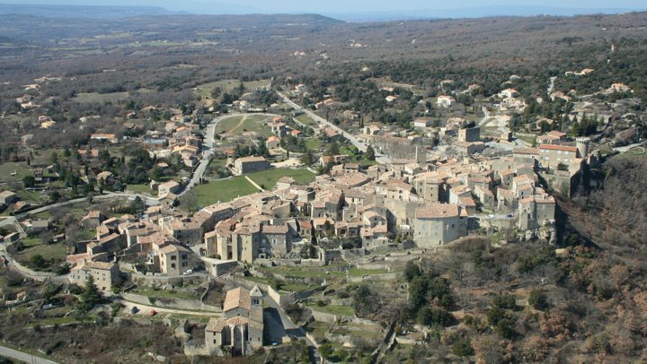
The village of Viens, perched on the edge of the Courennes plateau, offers a splendid view to the east, sweeping across the landscapes from the Montagne de Lure to the Luberon.
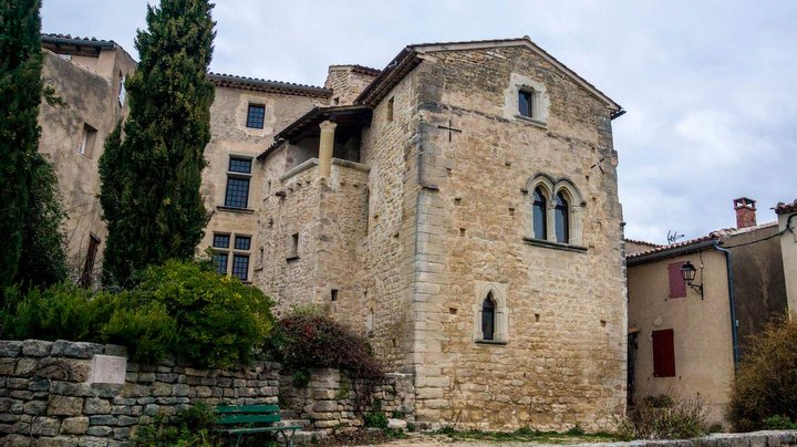
Don’t forget to explore the heart of the village. Beyond the ramparts, you will discover a labyrinth of narrow streets and squares, lined with beautiful houses.
Location: Viens (84)
Site type: Remarkable village, Scenic viewpoint
Parking: Available
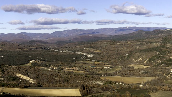
Like most of the perched villages in the Luberon, Viens is situated on the edge of a molasse plateau, this limestone sandstone rich in fossils like oysters and scallops that crowns older terrains and carves out the Apt basin into wild and distinctive plateaus.
To the north rises the Montagne de Lure, dear to Giono. It is a large east-west anticlinal, 42 kilometers long, reaching a peak of 1,826 meters, tilted and overlapping towards the north.
To the south stands the Luberon, a geological cousin of Lure: an east-west anticlinal stretching 60 kilometers, culminating at Mourre Nègre (1,125 meters), but tilted and overlapping towards the south.
Between the two lies the Apt-Céreste-Forcalquier syncline. This asymmetrical syncline has a short southern flank, upright against the Luberon massif, and a gently sloping northern flank, spread out in successive cuesta formations, both limestone and marl.
Below flows the Calavon, which is thought to derive its name from the gorges of Oppedette (Calavon = the river of stone). The striking incision of these gorges is clearly visible, drawing a Z in the landscape.
— Getting to Viens
Park in the parking area, then head to the viewpoint, located 80 meters along the road to Banon.
PLUS D'INFOS
—
> Viens est l’une des 27 communes du périmètre de protection de la Réserve Naturelle géologique du Luberon
DÉCOUVREZ-EN PLUS !
—
Préparez vos balades et randonnées avec
www.cheminsdesparcs.fr
![]()
CONTACTEZ-NOUS
—
Service Géologie
Maison du Parc
60, place Jean Jaurès – 84400 Apt
> envoyer un mail
> 04 90 04 42 00
Photo du bandeau : Panorama depuis Viens. © PNRL – Stéphane Legal
— Vous aimerez aussi…


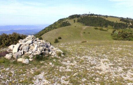


Photo du bandeau : © Prénom Nom